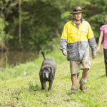
When Wayne Haslam set up Blue Frog Truffles after retiring from a long career in…
AI in farming: new tech to help the bottom line
You may recall the scene in Terminator where Arnold Schwarzenegger reaches out and says – “Come with me if you want to live.”
He was out to save people from rise of robots and the glitch in the Artificial Intelligence programming which allowed the robots to declare war on human beings.
Nightmare stuff indeed, but that’s Hollywood for you.
The truth is that AI, machine learning and the various other names given to the process are in most cases beneficial to the community.
Essentially AI technology provides us with decision-making data to help us make better decisions much faster and more accurately. And the applications and benefits for farming are huge.
This is not to say that we shouldn’t also apply a degree of caution as we move into this new era, as facial recognition and other applications may have questionable uses.
There can of course be downsides. AI applications could mean fewer jobs for farm workers as more jobs become automated, decisions made by number crunching are financial and not social or community based and so on.
But the proper application of AI on our farms will reap rewards in better and higher yields and ultimately a greater return to farmers.
AI in farming improves crop yields
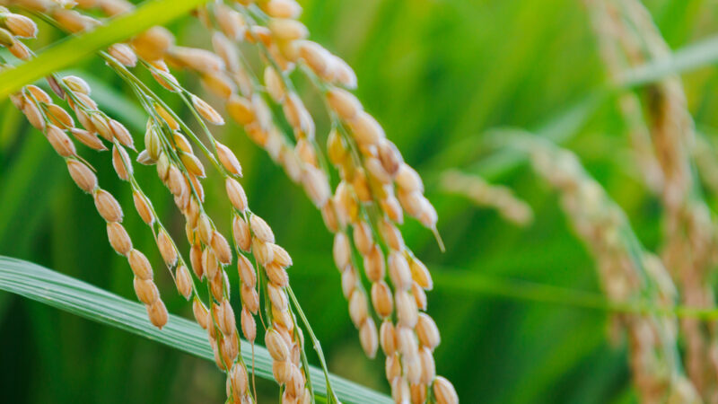
AI in farming can be a way of increasing and improving crop yields. and it can help to manage scarce resources like water and soil nutrients.
Fortunately, Australia is a leader in the development of such technologies and an example is a NSW-based company Green Atlas which is now providing, through AI, a competitive edge particularly in the fruit, nut and vegetable sector.
Steve Scheding, along with co-founders James Underwood and Peter Morton, applied years of research knowledge from University of Sydney, Rio Tinto and robotics, telematics and self-drive vehicle development to create a groundbreaking system to help farmers to understand data insights such as temperature, precipitation, wind speed, and solar radiation particularly relating to tree-crops.
“The system is helping farmers to managing the life-cycle of each and every piece of fruit on every tree in their orchard,” Steve says.
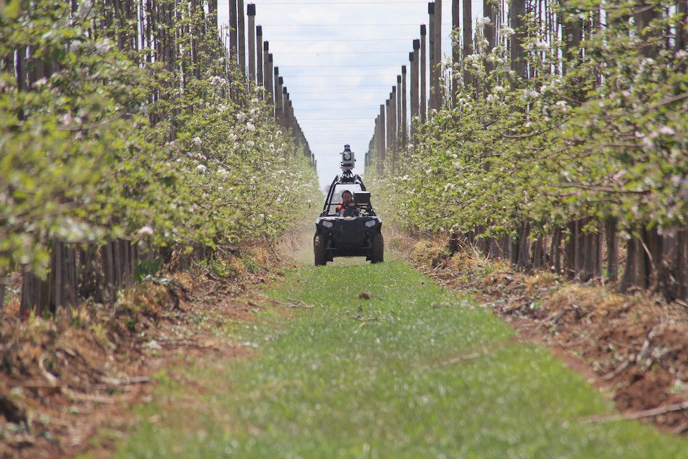
The Green Atlas team have developed a mobile system of cameras and laser technology mounted on quad bikes or small utilities. The cameras and laser are connected to the computer system which maps the orchard and gives an accurate flower and fruit counts. The farmer is then given access to huge amount of detail.
In the past this had to be done by individuals walking up and down the rows of tree in an orchard providing sketchy detail.
Easy to use and less labour intensive
Green Atlas’ orchard scanning platform – which is called Cartographer – captures extremely high resolution data from every tree in an orchard. It can count the flowers and fruit covering up to eight hectares an hour.
The team have made all of the systems very easy to use. On each car there are two cameras and a LIMDAR laser radar with 16 laser beams that spin around at high speed shooting laser light into the trees, several hundred thousand beams per second.
“We can drive fast, 40 to 50 kilometres per hour mapping the orchard and the operator doesn’t need to be an expert to collect or to read the data output,” says Steve.
“Then we reconstruct a 3D vision of the tree, then count the number of flowers, the density of the canopy, the distribution of the fruit and other factors. All this had to be done by hand in the past taking a lot of time,” explains Steve.
The data collected by the cameras and laser scanners is then sent to a remote computer where the system provides the farmer with the data and the maps of the orchards. The data is taken off the farm system, but all of the infrastructure is on the farm so that farmers can control the system.
Green Atlas is a relatively new company having now completed two seasons of mapping and the system has scanned more than 27,000 hectares of tree-crops so far. As an start up company, the founders did not want to sell out the intellectual property to a large investor, so the build the business slow on their own resources.
“We had to find early adopters of AI in farming, who would take a risk with a new company, fortunately farmers tend to open to new processes,” Steve says.
“We started with apples scanning orchards in flowering. Almonds have now become a large part and the industry came to us. In the first year we mapped 5000 hectares of almond, this year in June we scanned 15,000 hectares which is about a third of the Australian crop.”
Batlow takes the plunge into AI
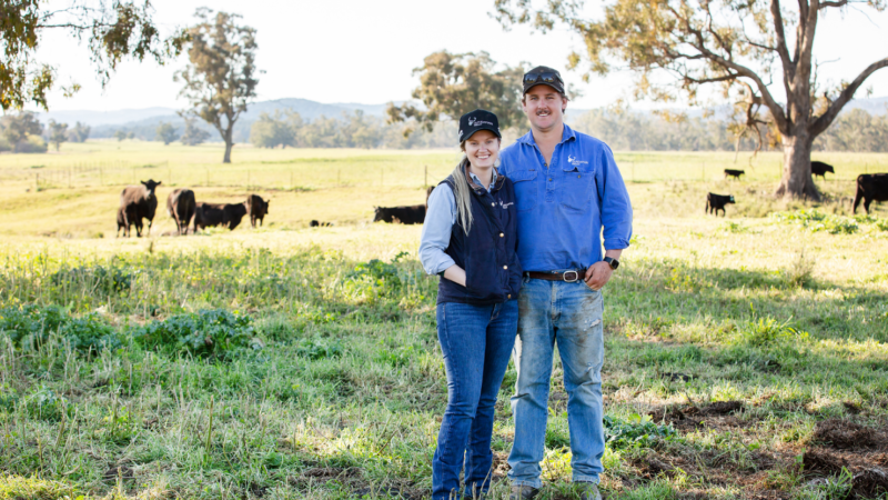
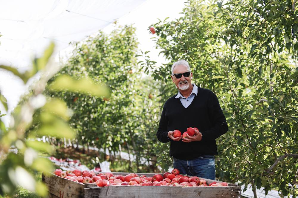
Batlow in the South West Slopes region of New South Wales is famous for its apples and Andrew Desprez is regional orchard manager for the Batlow Fruit Company.
He has implemented a Green Atlas system and started scanning the company’s orchards through in spring 2020.
He says the company is always on the look out for new technologies which will help keep better, healthier and he met the founders of Green Atlas at a robotics in Agriculture event at University of Sydney several years ago and has kept in touch.
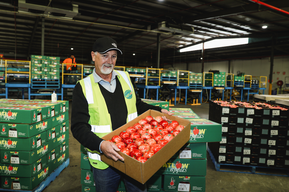
Batlow Apples produces about 45 per cent of the NSW crop and NSW produces about 18 per cent of the total Australian crop so the company is a significant contributor to the rural economy.
“We will do two scans a season,” Andrew says. ”Flowering time, and in December when we will do a fruit count, we may do multiple fruit counts. We used to do a count only on what we could see now the scanners can see the flowers and the fruit on the entire tree.
Andrew refers to the Green Atlas process as a vital part in the Precision Agriculture concept. This is usually defined as a farm management approach using information technology tools such as GPS guidance, control systems, sensors, robotics, drones, autonomous vehicles, variable rate technology, GPS-based soil sampling, automated hardware, telematics, and software.
“With the scan maps we can see incredible detail, for example when we do flower maps we can see where there is heavy flower, where the flowers are on a tree and the load per tree,” Andrew says.
He also explains that when the maps of the orchards are overlaid, he is able to work out soil types, where more pruning is required to thin out the flower load to gain optimal fruit load per season. The effects of rainfall variation and past pruning can also be identified. Overall, the gives the grower a more accurate estimation of how much fruit is likely each season.
This is important from a logistics perspective as the grower can work out how many pickers and packers they will need, how many boxes will be required.
The system has now gaining international prominence and has been picked up in France, Chile and New Zealand.
Jack Hughes is a horticultural consultant and director at Fruition Horticulture Ltd in Hastings, New Zealand, he says the Green Atlas Cartographer is being used on kiwi fruit and apple orchards in New Zealand providing vital data.
“Growers want to know what is happening early on so they can make their best estimates for fruit. That is crucial for the supply chain. A lot is riding on accurate crop estimates,” he says.
Jack says the scan maps allows the farmer to manage to total orchard, to identify areas that need support, where soil needs management and where more or less pruning is required. All of this data helps to optimise the capacity of the orchard and of course improve the return to the farmer.
If you enjoyed this feature you might like our story on innovations in the garlic industry.