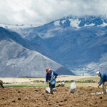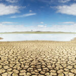
Meteorologists confirm what farmers in many part of NSW have already been enduring – a…
El Niño defies predictions: rainfall revitalises farms
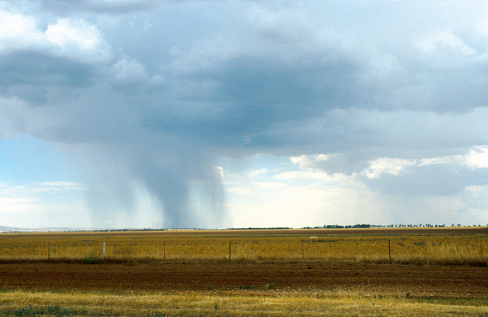
Australia’s climate, recognised for its fluctuating nature, has recently defied expectations. Despite the Bureau of Meteorology (BOM) predicting a hot and dry summer due to an El Niño event, regional areas of NSW have instead experienced storms and heavy rainfall.
It’s a pleasant surprise for many farmers, with many quickly rethinking their plans for summer crops.

According to the BOM, the unexpected increase in rainfall along the east coast is attributed to several factors. Key among these is the unusually warmer sea surface temperatures (SSTs) near eastern Australia, leading to increased atmospheric water vapor and consequently, more intense rain and thunderstorms.
The BOM claims recent scattered showers and storms across a large part of NSW are linked to a low-pressure system located to the west of Tasmania, resulting in varied rain events. The weather has also been impacted by a positive Southern Annular Mode (SAM) and unusually high SSTs in the Tasman Sea.
BOM spokesperson Morgan Pumpa explains:
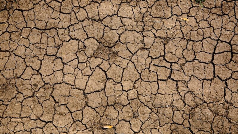
“We’ve seen a trough bring some showers and rain to the upper Western districts of NSW. Between July to December we had about 20-40 per cent of the expected rainfall within NSW, so that was below average, especially for our inland areas where it was significantly dry across the state.

“But following the El Niño, which was announced in September 2023, we’ve seen the presence of a positive SAM, combined with high temperatures in the Tasman Sea. January rainfall has been two-four times the monthly average for much of Western NSW, particularly around Cobar.
“The El Niño announcement was followed by those drier conditions at the very start of summer, and now we’ve seen several rainfall events – even on the two days to Wednesday January 18 where Cobar, Noona and Killala received around 50-70mm.
“Numerous regions throughout the state experienced consistent rainfall, with Noona registering 59mm while Cobar had an additional 25mm, on top of the 23mm it received the previous day. Adjacent areas also saw significant rainfall, with Killala getting 41mm and Burndoo receiving 38mm.
Morgan Pumpa, BOM spokesperson
“So it’s really about the low pressure system we’ve had moving west of Tasmania which was linking up with a trough into inland parts of NSW. This low-pressure system was then clearing the state in the north-east and moving into Queensland.
“The system was tapping into quite a bit of tropical moisture as that went over NSW, which resulted in some of the unusual higher total rainfalls in those regional areas.”
It’s important to note that El Niño’s behaviour is often misunderstood.

According to the CSIRO, El Niño is characterised by higher-than-average sea surface temperatures in the central and eastern regions of the tropical Pacific, whereas La Niña events are marked by temperatures that are lower than average in these areas.
These temperature variations in the Pacific Ocean and the associated atmospheric changes are part of a phenomenon known as the El Niño-Southern Oscillation (ENSO).
CSIRO Senior Research Scientist Dr Carly Tozer claims El Niño is a good indicator of dry conditions in eastern Australia as a whole, but it doesn’t necessarily translate to dry conditions ahead.
“At individual locations, such as the eastern seaboard, it does little to shift the normal odds of dry conditions. For parts of northern and southeastern Australia, including the Murray-Darling Basin, El Niño significantly increases the odds of a dry spring season,” Dr Tozer says.
“While El Niño plays a large role in moderating Australia’s climate, it’s not the only driver of dry conditions in Australia. Other processes like the Indian Ocean Dipole, Southern Annular Mode and related or unrelated weather systems all contribute to Australia’s climate variability.”
Dr Carly Tozer, CSIRO Senior Research Scientist
CSIRO hydrologist Dr Francis Chiew says it’s too early to predict how El Niño might impact flows in the Murray-Darling Basin.
“The good news is wet conditions from three successive years La Niña years have filled our reservoirs and provided what is essentially a buffer for the system,” Dr Chiew says.
“In terms of the bigger picture, we can certainly expect droughts to become more frequent and more severe in the decades ahead, which will paint a more complex picture for recovery.”
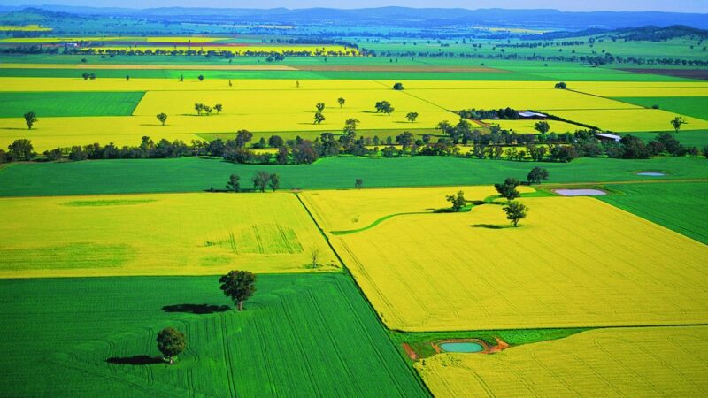
The BOM is forecasting a higher likelihood of above-average rainfall in eastern NSW, south-east Queensland, and Victoria from January to March. However, there is also a possibility of average (“neutral”) rainfall in the central and southern regions of Australia.
If you enjoyed this feature on El Niño, you might like to read about the importance of being drought ready.